1,993
Validated RNC segments
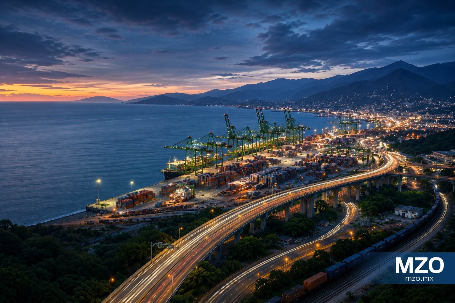
A closer look at the physical infrastructure connecting Manzanillo with the inland transportation system — from major road corridors to rail and port-access infrastructure.
This report is part of the MZO Intelligence platform and presents an editorial analysis based on regional context, public information and strategic interpretation.
Manzanillo's logistics infrastructure extends beyond the port perimeter. Roads, railways, access infrastructure and other logistics assets form the physical layer through which the gateway connects with its inland environment.
Road infrastructure provides the most detailed validated physical layer currently assembled for MZO.
The validated road evidence extends beyond the municipality, allowing MZO to represent a regional infrastructure layer rather than a purely municipal inventory.
Infrastructure describes the physical system — it does not by itself measure freight flows, demand, performance or competitiveness.
The current MZO infrastructure baseline provides a validated geospatial view of principal road corridors associated with Manzanillo's inland logistics system.
Validated RNC segments
Validated corridor-network length
MEX-200 route-code segments
MEX-098 route-code segments
Manzanillo's logistics system is supported by a physical infrastructure layer that extends beyond the port itself, including road, rail, port-access and other logistics assets connected to its inland environment.
The 2025 Red Nacional de Caminos provides the primary geospatial baseline for the road infrastructure layer. The validated MZO corridor evidence includes 1,993 segments covering approximately 767.42 kilometers.
Rail infrastructure forms a second transportation layer within Manzanillo's inland logistics environment, including railway corridors, nodes, access points, terminals and yards where supported by available evidence.
Port-access infrastructure forms the physical interface between the inland transportation system and the maritime gateway, connecting terrestrial infrastructure with access to the port.
The infrastructure layer can also include inland terminals, intermodal facilities, dry ports, container depots and other relevant logistics facilities when their relationship with Manzanillo is supported by evidence.
Road, rail and port-access infrastructure form interconnected physical layers around Manzanillo. Their connectivity provides the physical context for inland logistics without, by itself, measuring freight flows or network performance.
The validated road layer provides the most detailed current view of the physical network assembled for MZO, connecting Manzanillo with surrounding transportation infrastructure.
The validated road evidence is organized around the MEX-200 and MEX-098 route-code groupings, which together account for 1,993 validated segments and approximately 767.42 kilometers.
Road and rail infrastructure converge with port-access infrastructure to form the physical interface between Manzanillo and the inland transportation system.
Physical connectivity alone does not establish logistics relevance. MZO therefore distinguishes between infrastructure that is geographically connected and infrastructure supported as relevant to the logistics system under study.
The existing infrastructure system is also being modified through ongoing public infrastructure programs. Detailed project analysis is reserved for the forward-looking Infrastructure reports.
Ongoing road, rail-access and related infrastructure works provide context for how the existing physical system is changing, without forming the primary focus of this report.
Development priorities are considered separately from the existing infrastructure baseline. In this report, they provide context rather than a detailed assessment of future investment decisions.
Future infrastructure development is outside the primary scope of this report. The existing infrastructure baseline provides the physical context for evaluating how the system may evolve.
Manzanillo's inland logistics system rests on a physical layer that extends beyond the port itself. The current MZO evidence provides its clearest view through the road network, where validated RNC data identifies 1,993 corridor-network segments covering approximately 767.42 kilometers. This infrastructure layer provides the physical context for understanding how Manzanillo connects to its inland environment. It should, however, be read separately from freight flows, network performance and functional hinterland relationships — dimensions that require different evidence and methodologies.
Primary sources and references supporting this report.
INEGI
Red Nacional de Caminos
2025
ATTRAPI
Red Ferroviaria Nacional
2026
ASIPONA Manzanillo
Programa Maestro de Desarrollo Portuario
2024
Continue exploring the infrastructure shaping the Port of Manzanillo and the Pacific region.
Infrastructure
Explore the road, rail and port-access infrastructure connecting Manzanillo with Mexico's inland transportation network.
Infrastructure
Explore the infrastructure projects, development priorities and long-term initiatives reshaping Manzanillo's physical connection with its inland transportation system.
Explore the infrastructure knowledge base
Infrastructure